GIS Connectivity Survey
Flowline capability extends to the Geographical Information Services (GIS) expertise, undertaking surveys for the maintenance and data capture of client assets.
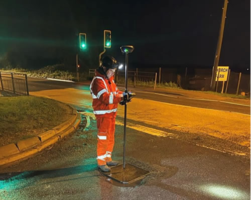
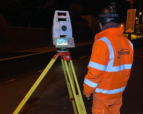
For maintenance contracts we are often supplied with a local authority’s GIS data and are capable of managing this data from a variety of standards and file types. We include both positional and inventory data from high accuracy survey grade mobile mapping on handheld devices.
The programmes generally used are:
• AutoCAD Map
• ArcMap
• K-Matic
• FastMap
• WinCan
We provide two geophysical location techniques to detect utilities, which are electromagnetic location and ground penetrating radar, which are carried out in accordance with PAS 128 specification and also used for surveys on borehole clearance, CCTV, drainage connectivity surveys and radio sonde location.


